

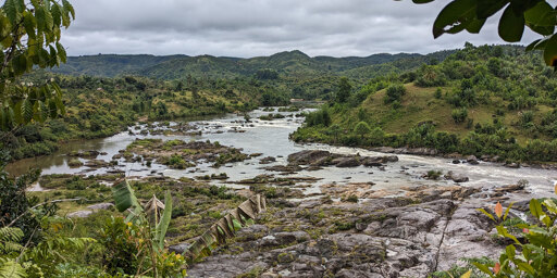
Madagascar’s landscape tells a story of deep time: ancient rifting and geological tilting sculpted the island’s dramatic topography and steered its rivers, setting the stage for the evolution of its extraordinary biodiversity.
A new study published in Science Advances reveals that Madagascar’s striking landscape was shaped by not one, but two great rifting events, separated by nearly 80 million years. These tectonic shifts first tore the island from Africa, then from India, tilting and reshaping its terrain and setting the stage for life to flourish in isolation.
Madagascar first separated from Africa about 170 million years ago, forming a rugged western escarpment and an eastward-tilted plateau. For tens of millions of years, its rivers drained mainly eastward across this landscape.